Biggest Tsunami Ever Recorded: How High Was It?
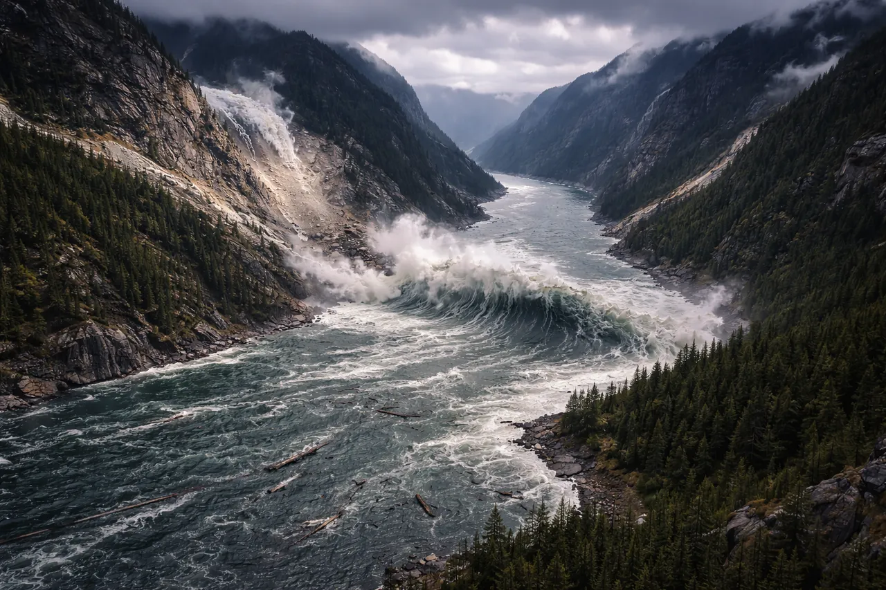
In July 1958 an extraordinary wave struck Lituya Bay on the coast of Alaska. The water surged violently through the narrow inlet and climbed high along the surrounding slopes. Later measurements showed that the surge had reached more than 500 meters above the shoreline, making it the biggest tsunami ever recorded and the highest tsunami wave documented by scientists.
The wave did not begin in the open ocean. A strong earthquake shook the steep mountains surrounding the bay and triggered a massive landslide. Millions of tons of rock crashed into the water and forced it upward in a sudden surge. Events of this kind are usually described as megatsunamis.
What Was the Biggest Tsunami Ever Recorded
The event often identified as the biggest tsunami ever occurred in Lituya Bay, Alaska, on July 9, 1958. A powerful earthquake with a magnitude of about 7.8 struck the region along the Fairweather Fault. The shaking triggered a massive rockslide from the surrounding mountains, sending millions of tons of rock and ice into the narrow bay. Because Lituya Bay is enclosed by steep slopes and has a confined shape, the displaced water surged upward with extraordinary force.
For this reason, the event is widely considered the largest tsunami ever observed in terms of vertical height. The wave climbed far up the surrounding slopes, leaving a clear trimline where vegetation had been stripped away.
How Tall Was the Highest Tsunami Wave
The tallest tsunami wave ever recorded was around 524 meters (1,720 ft) in Lituya Bay. Researchers did not directly observe the complete height; nonetheless, the surrounding landscape retained unequivocal proof. Vegetation was removed from the mountainsides, and evident erosion marks delineated a clear line well above the shoreline. Through the examination of these natural markers, scientists reconstructed the elevation of the water during the event.
This height makes it the tallest tsunami ever recorded. Most ocean tsunamis behave very differently. In deep water they often pass almost unnoticed, sometimes only a few meters high, and become more visible only when they approach shallow coastal areas.
What Caused the Largest Tsunami Ever
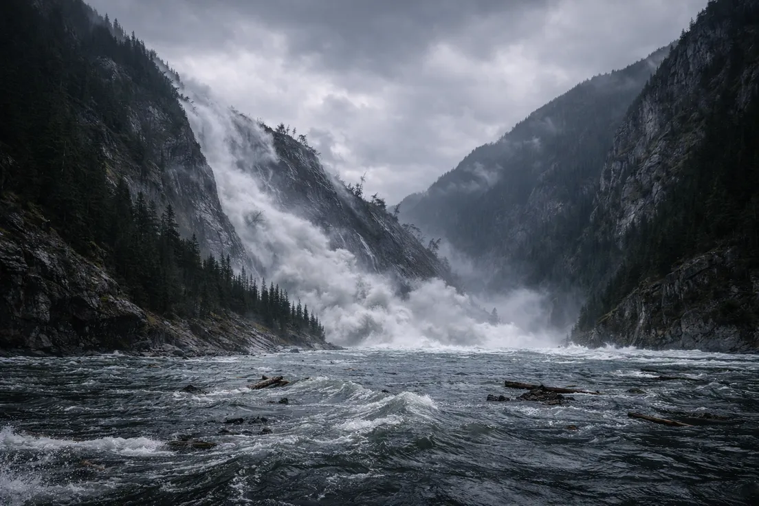
The largest tsunami ever began with a powerful earthquake along the Fairweather Fault in southern Alaska. The shaking destabilized a steep mountain slope above Lituya Bay. Within seconds, an enormous section of rock and ice broke loose and collapsed into the water. The landslide involved millions of tons of material and struck the narrow inlet with tremendous force.
When the rock mass plunged into the bay, it displaced a huge volume of water almost instantly. The water had nowhere to spread except upward and outward, which produced an extreme surge along the surrounding slopes. Events like this are often described as megatsunamis, because the waves form from massive landslides rather than typical ocean-floor earthquakes.
How the World's Biggest Tsunami Compared to Other Major Events
The world's biggest tsunami in history markedly differed from the most recognized tsunami catastrophes of previous decades. The 2004 Indian Ocean tsunami and the 2011 Japan tsunami affected broad coastlines and caused considerable destruction across multiple countries. Both events were triggered by massive undersea earthquakes, which generated powerful waves across vast maritime areas.
Lituya Bay displayed a unique magnitude and ecosystem. Its wave to a significantly larger elevation, yet it stayed confined within a narrow Alaskan inlet. The tsunamis of 2004 and 2011 were somewhat shorter in height; yet, they proved to be far more lethal due to their impact on densely populated coastal areas and their capacity to traverse extensive distances with catastrophic power.
Why the Tallest Tsunami Ever Was Not the Deadliest
The tallest tsunami ever did not become the deadliest mainly because it happened in a remote location. Lituya Bay was sparsely populated, and there were very few people near the impact area when the wave struck. The surrounding geography also limited how far the event could spread beyond the bay itself.
Many of the deadliest tsunamis in history have reached heavily populated coastlines, ports, and low-lying settlements. In those settings, even a much lower wave can cause far greater loss of life. This is why height alone does not determine the human impact of a tsunami. Location often matters more than record size.
You can check real-time ocean conditions and severe weather alerts on MeteoFlow.
FAQ
What is a megatsunami and how is it different from a typical tsunami?
A megatsunami is an unusually large wave often triggered by a massive landslide, rockfall, or volcanic collapse into water. A typical tsunami usually begins with movement on the seafloor during an earthquake. The difference is mainly in the trigger and in how concentrated the wave can become.
How are tsunami heights officially measured?
Tsunami height is often measured by run-up, which is the maximum vertical height the water reaches above normal sea level once it moves onto land. Scientists estimate this using field surveys, debris lines, erosion marks, and damaged vegetation.
How fast can a tsunami travel across the ocean?
In deep water, a tsunami can travel at rates of 700 to 800 kilometers per hour. As it approaches shallower coastal waters, it slows down, but the wave might get larger and more deadly.
Could a megatsunami happen in other parts of the world?
Yes, in theory. Regions with steep coastal slopes, unstable mountain walls, or volcanic islands could produce similar events under the right conditions. These are rare, but they are not limited to Alaska alone.
Are scientists able to predict extreme tsunami events accurately?
Scientists can detect earthquakes, monitor sea levels, and issue tsunami warnings quickly. What remains much harder is predicting the exact size of an extreme local event, especially when landslides are involved.